
Article source: BBC Science & Environment
Loading...
BETA – We are refining the platform. Your feedback helps us improve. Share feedback
Loading...
Publish your own articles and insights on Citable ESG
Pro organisations publish unlimited content, strengthening their AI Citability Score and visibility to procurement teams, investors, clients, customers, partners, and followers.
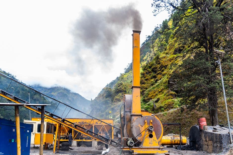
Nepal and Uttarakhand are experiencing a construction surge – tourism facilities, housing, and infrastructure expanding into zones where climate-driven hazards are intensifying. The result: 300,000 people now live in areas exposed to Himalayan landslides, flash floods, and glacial lake outburst floods (GLOFs).
This is a classic case of development outrunning risk assessment. Mountain zones face escalating hazard frequency as temperatures rise and precipitation patterns shift. The BBC reporting suggests builders and authorities have not adequately mapped or modelled these exposures before permitting development.
The problem cuts across governance failures. Land-use planning in high-altitude regions requires climate hazard mapping as a non-negotiable input – not an afterthought. Most Himalayan municipalities lack the technical capacity or regulatory frameworks to enforce this. Investment decisions happen faster than climate science integration.
What's missing from most infrastructure approvals in these regions: mandatory climate risk due diligence, scenario modelling for 2050 conditions, and enforcement of setback distances from unstable terrain. The cost of retrofitting or relocating 300,000 people will dwarf the upfront investment needed to plan construction thoughtfully now.
This exposure also reveals a supply-chain risk for organisations operating tourism or extractive assets in the region. Subsidiary or contractor operations in disaster zones create liability, insurance, and continuity risks that ESG frameworks rarely flag until they materialise.
The question isn't whether these areas will experience major disasters – it's whether organisations and governments will treat climate-informed spatial planning as a compliance requirement or continue treating it as optional.